
Bellvue, CO 80512, USA
(40.6301219, -105.499298)
Colorado's national forests form a vast mosaic of high peaks, deep canyons, alpine tundra and sprawling montane woodlands that define the state's outdoor culture. This guide synthesizes the landscape, recreation systems, geology and logistics that matter to experienced outdoor users seeking hiking, climbing, biking, kayaking or skiing opportunities across Colorado's federal forests. The emphasis is on specific places, elevation regimes and technical considerations that help plan purposeful outings.
Geography
Colorado's national forests span dramatic elevation gradients from montane valleys to alpine ridgelines, producing condensed ecological zones and rapid weather shifts. Elevation controls access and conditions, with many trailheads above 2,500 meters where afternoon storms and snowpack influence trip planning.
Front Range
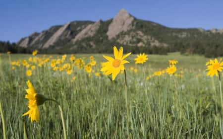
The Front Range forms the easternmost forested band where steep relief gives way quickly to the plains; access is often via short, high-gain routes offering technical ridge travel. Expect dense lodgepole pine (Pinus contorta) stands at mid elevations and rapid weather changes that affect route choices.
Western Slope
The Western Slope contains broad basins and deep river canyons, where drainage-controlled microclimates create diverse recreation opportunities from high desert trails to high alpine cirques. Rivers here carve canyons with steep rock faces ideal for technical climbing and canyon-focused backcountry travel.
San Juan Range
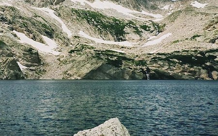
The San Juan Range hosts some of the highest and most rugged forested terrain, with compact treeline zones and extensive glacial cirques that feed high-altitude lakes and alpine routes. These areas require strong navigation skills and attention to objective hazards like glacier remnants and rockfall.
Activities
Recreation across Colorado's national forests emphasizes movement through complex terrain: long alpine approaches, technical rock routes, singletrack ridgelines and winter ascents. Choose activities based on season, elevation and objective hazards, and plan for variable snow conditions at higher elevations.
Hiking
Hiking ranges from short montane loops to multi-day high-elevation traverses on routes such as the Continental Divide Trail, where elevation gain, exposure and stream crossings require route-specific gear and pacing. Many high routes demand alpine experience, crevasse awareness where glaciers persist, and pre-trip snowpack assessment.
This is a popular trail for backpacking, camping, and hiking, but you can still enjoy some solitude during quieter times of day. The best times to visit this ...
Generally considered a highly challenging route, it should only be attempted by experienced adventurers. This trail is great for hiking, and it's unlikely you' ...
This is a very moderate hike that runs along the Crystal River for the vast majority of the trek. The fall colors are beautiful, and summer is a great time to ...
Hiking poles strongly recommended. I still slipped and fell twice on the way down with trail runners. The incline isn't consistent throughout. Close to the top ...
My husband and I did this hike the 2nd day in town and I was already struggling a bit with some mild mountain sickness so, if that's you, wait a few days longer ...
Generally considered a challenging route, it takes an average of 8 h 16 min to complete. This is a popular trail for backpacking, hiking, and mountain biking, ...
This is a very popular area for backpacking and hiking, so you'll likely encounter other people while exploring. The best times to visit this trail are June ...
Proceed cautiously on this 13.5-mile out-and-back trail near Westcliffe, Colorado. ... Backpacking trails are typically longer and are often point-to-point trails ...
Generally considered a moderately challenging route, it takes an average of 5 h 13 min to complete. This is a popular trail for backpacking, birding, and hiking ...
... Hiking. Wrong directions. Allow plenty of time, it's a slow hike. Don't necessarily rely on all trails after the 4wd road. Difficulty: Strenuous. Photo 1 of 10
Trekking Poles · Knives & Tools · Binoculars · Compasses · Storage & Maintenance · Dog ... Learn the differences between hiking shoes and hiking boots with ...
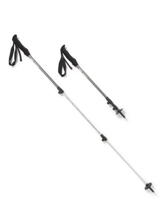
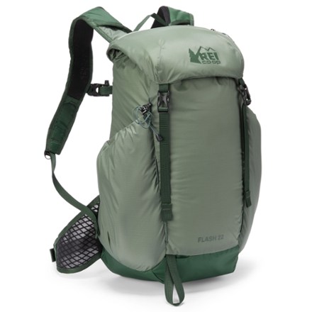
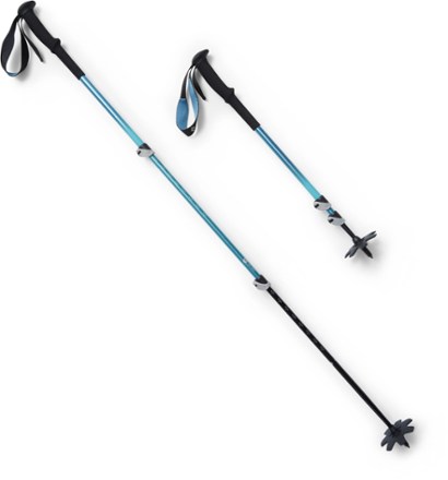
Shop for Trekking Poles at REI - Browse our extensive selection of trusted outdoor brands and high-quality recreation gear. Top quality, great selection and ...

Buy 4Pcs Backpack Hiking Stick Holder Straps, Elastic Lanyard Rope for Trekking Poles with 4Pcs Trekking Pole Tips Hiking Cane and 2Pc Clip for Camping, ...
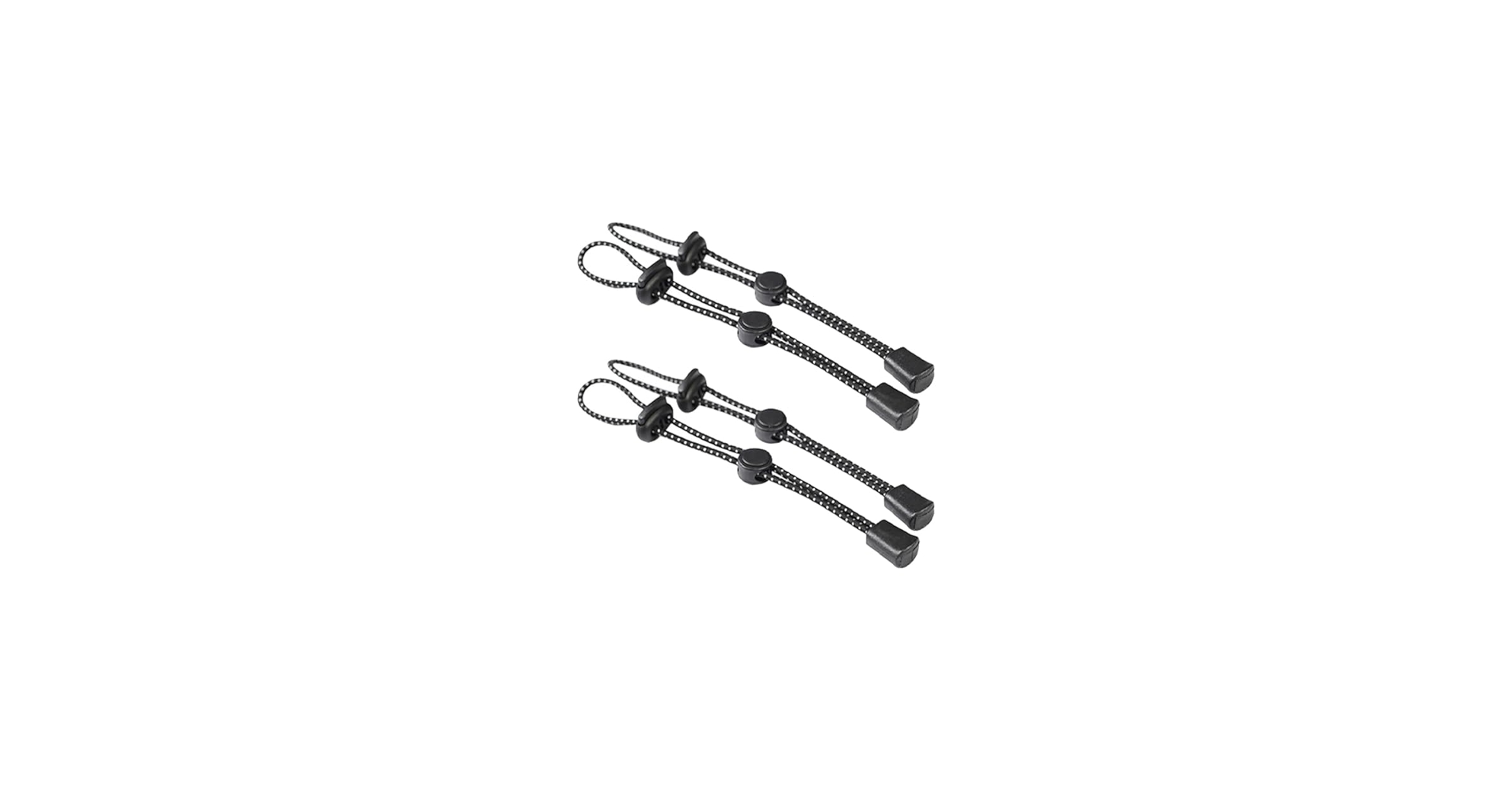
Buy GSHLLO 4 Pcs Backpack Hiking Pole Ropes Adjustable Walking Stick Holder Rope Elastic Trekking Pole Holder Straps Buckle Fixing Lanyard Climbing Stick ...
IGOLUMON Hiking Backpack 40L Packable Hiking Daypack for Men Women Waterproof Lightweight Foldable Camping Backpack · 50+ bought in past month.
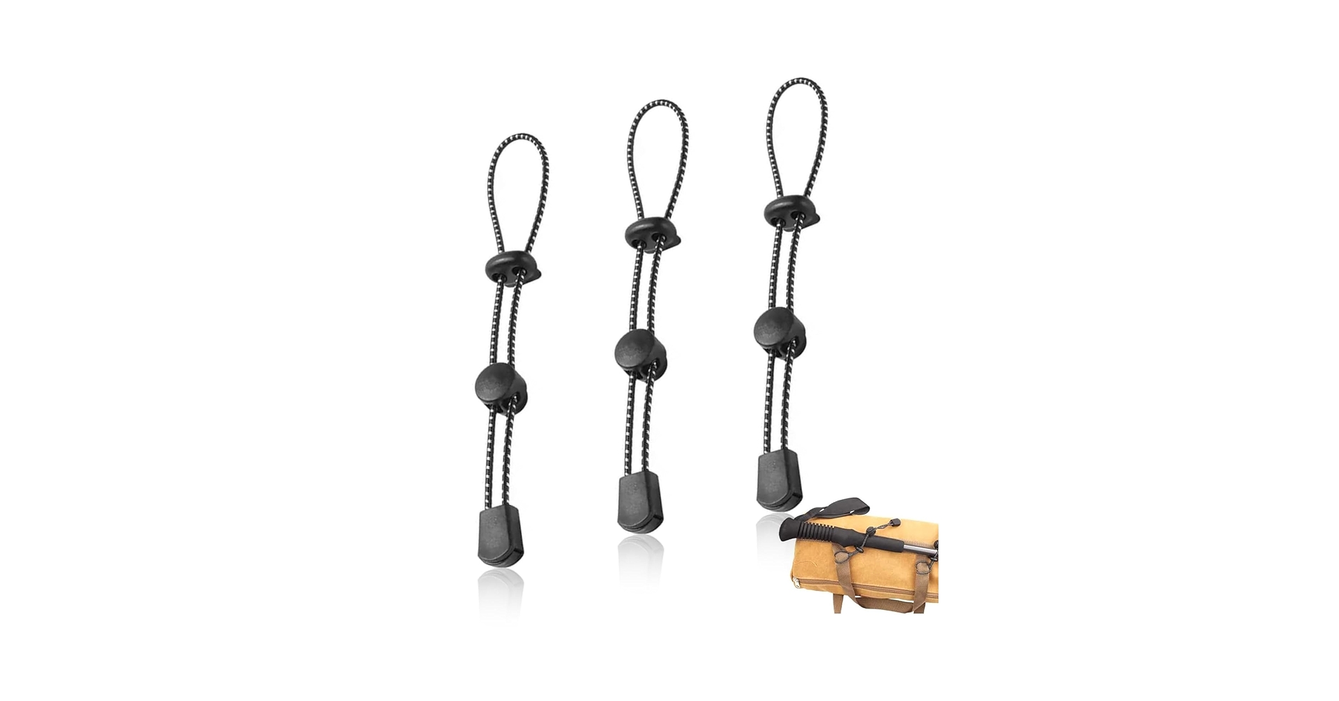
Amazon.com : NIIIYTYB 3 Pcs Backpack with Trekking Pole Holder Adjustable Bungee Rope Lanyard Elastic Quiver Straps for Backpacking Climbing Hiking Walking ...
4pcs Climbing Stick Holder, Hiking Trekking Pole Backpack Bungee Straps, Adjustable Elastic Cord Ropes Lanyard Fixing Buckle for Ski Walking Outdoor ...
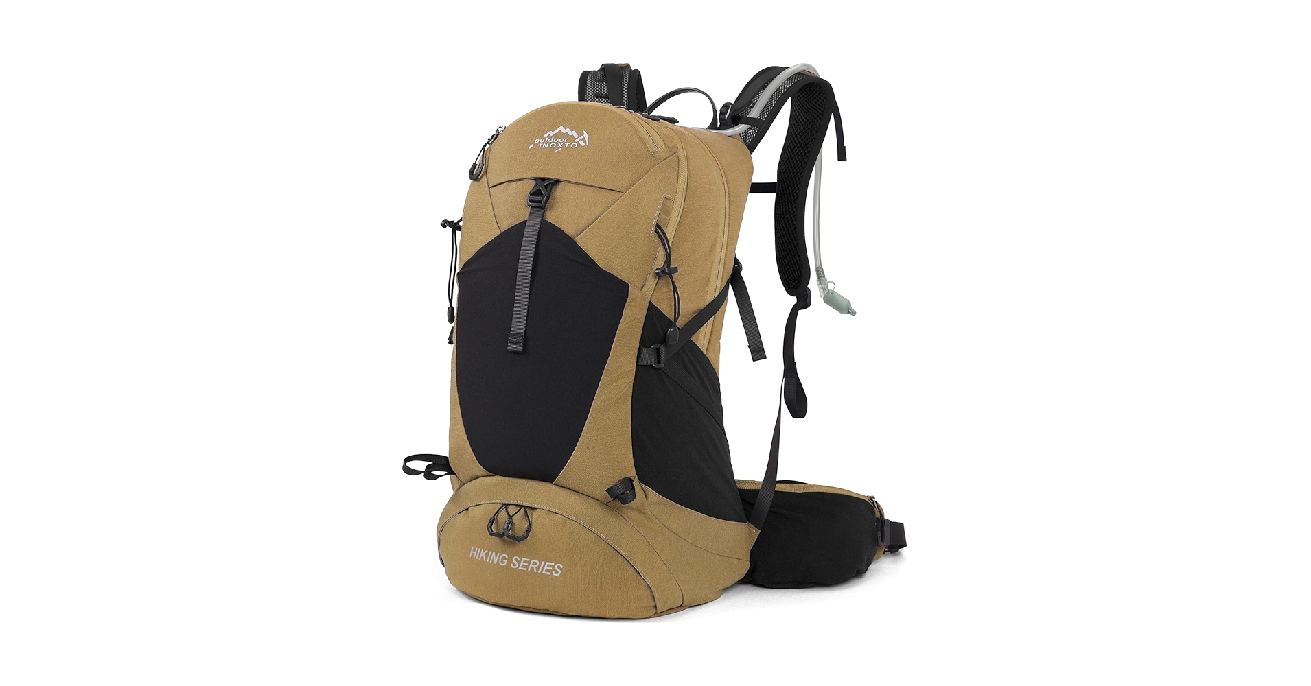
Buy IX INOXTO Hiking Backpack, Waterproof Hiking Daypack with 3L Water Bladder and Rain Cover, Lightweight Travel Camping Backpack for Men Women (Khaki) and ...
KingCamp Trekking Pole Carbon Fiber Collapsible, Lightweight, Shock-Absorbent, Walking Sticks with EVA Foam Handle, 3-Section.
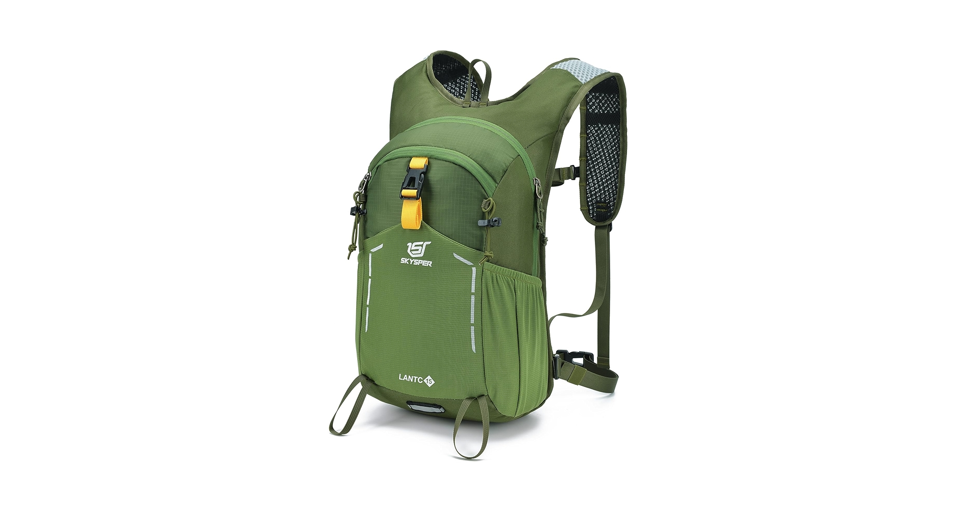
Buy SKYSPER Small Hiking Backpack - 15L Travel Daypack Lightweight Bag Water Resistant Hiking Backpacks for Women Men and other Hiking Daypacks at ...
Rock Climbing
Granite, gneiss and volcanic tuff produce a spectrum of climbing from splitter cracks to steep sport lines; walls near Black Canyon of the Gunnison and cliff bands on the Gunnison Basin host sustained technical routes. Climbing in forested canyons often involves long approaches, seasonal closures for raptor nesting, and objective rockfall risk in freeze-thaw cycles.

The rock here is phenomenal and more similar to Devil's Head than any of the Colorado Springs crags. This crag is located near the very top of the trail ...
Dry Creek is a local climbing area, located only 14 miles west of my home town Montrose. It is located on Uncompahgre Plateu - large area in western Colorado.

Sep 15, 2013 ... Description Suggest change. This is the closest thing Colorado Springs has to adventure climbing. It tops out somewhere around 10,000 feet. This ...
When To Climb/Mountain Conditions ... To avoid large amounts of snow, Nokhu Crags is best climbed July through October. However, climbing in the winter might be a ...
One can spend a lifetime exploring all areas, and the potential for establishing new routes is endless. Too many crags, and not enough climbers to test it all.

The hub for all roped climbing based off of the Miller Gulch Parking lot - up here, the rock is a collection of granite, granitic gneiss, pegmatite, and some ...

All Locations > Colorado > Eagle/Vail/Minturn/Re… Homestake Road Crag Rock ... The Homestake Crag (AKA Homespank, after the sustained pumpy routes) is a small, ...

This is a beautiful area with alpinish rock on the West face of Twin Sisters that catches your eyes as you drive south from Estes on CO Hwy 7.

All Locations > Colorado > Morrison/Evergreen/Li… Deer Creek Crag Climbing. Climbing Area Map. Routes in Deer Creek Crag. Show All Routes Drop down. Show all ...
Share Our Parks & Trails. Overview. Facts: The Crags. Location: Divide, Colorado; Miles: 4.8 mile hike. (Add 1.5 miles in the winter ...

Climbing /; Mountaineering Gear /; Ice Axes and Tools. Ice Tools. (17 products). Products (17) Expert Advice (2). Filter. Store Pickup. Ready within 2 hours ...

Shop for Cams at REI - Browse our extensive selection of trusted outdoor brands and high-quality recreation gear. Top quality, great selection and expert ...
... Approach Shoes (8). Men's Climbing Shoes (6). Kids' Climbing Shoes (2). Chalk and Chalk Bags (15). Chalk Bags (15). Mountaineering Gear (15). Ice Axes and Tools ...
Online shopping for Sports & Outdoors from a great selection of Rope, Cord & Webbing, Mountaineering & Ice Equipment, Belay & Rigging, Bouldering & Wall ...
Shop for Climbing Protection at REI - Browse our extensive selection of trusted outdoor brands and high-quality recreation gear.
Shop for Camalot Cams at REI - Browse our extensive selection of trusted outdoor brands and high-quality recreation gear. Top quality, great selection and ...

Ice Axes & Tools · Mountaineering Boots · Mountaineering Tents · Snow & Ice ... Ice Climbing Crampons (5). Crampon Accessories (4). Mountaineering Tents (16).

Shop for Action Cams at REI - Browse our extensive selection of trusted outdoor brands and high-quality recreation gear. Top quality, great selection and ...
Shop for Cam Straps at REI - Browse our extensive selection of trusted outdoor brands and high-quality recreation gear. Top quality, great selection and ...
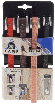
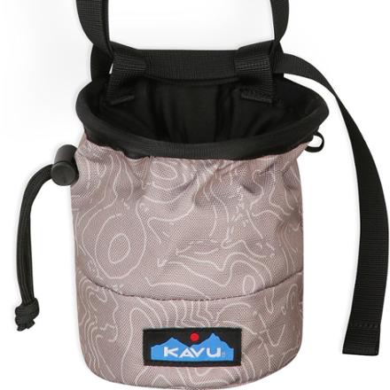
Shop for Tri-Cams at REI - Browse our extensive selection of trusted outdoor brands and high-quality recreation gear. Top quality, great selection and ...
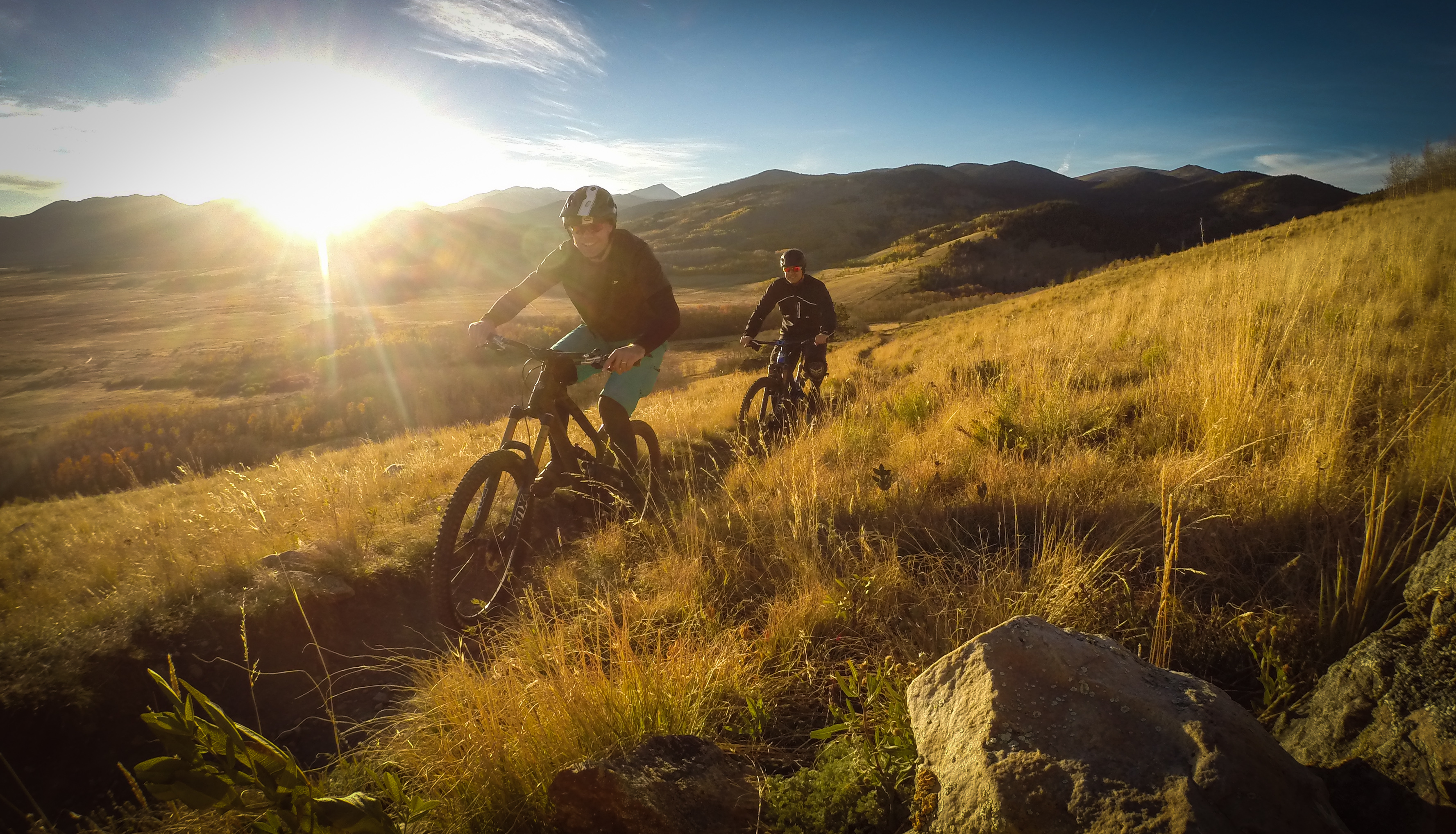
Biking
Singletrack and gravel riding exploit contour roads, descending old mining roads and purpose-built trails that traverse montane forests and high summits; riders should expect rapid elevation loss or gain and changing traction with altitude. High-altitude rides require acclimation and are often best scheduled for stable weather windows.

May 4, 2017 ... Five2Ride: 5 of the Best Mountain Bike Trails in Colorado · Buffalo Creek (Pine) · Colorado Trail: Silverton to Durango (Durango) · Doctor Park ...

Jun 19, 2012 ... My favorite place to bike in general is at the Kokopelli trails in Loma, CO. These trails have it all: scenic views, a variety of technical and ...
Mar 5, 2015 ... There are are hundreds of trails in the Centennial State, with true mountain biking-specific destinations such as Steamboat Springs or Durango.

Jun 27, 2013 ... The 15 miles of singletrack open to bikes within the park are mostly machine-cut, which means fairly wide and homogeneously smooth trails.
Jun 18, 2017 ... I-35 is a singletrack mountain bike trail in Colorado Springs, Colorado. View maps, videos, photos, and reviews of I-35 bike trail in ...

Oct 22, 2015 ... More than a decade after leaving Colorado Springs, I returned this summer to ride my mountain bike down “America's Mountain,” and it felt just ...

Aug 19, 2015 ... In a couple of weeks, I'll be making the trip from Huntingdon, Pennsylvania to Salida, Colorado for a Singletracks Editorial Team Meet-Up. I ...

Jun 26, 2008 ... 4 of his favorite high country bike rides at the list included some of the usual suspects like Monarch Crest near Salida and Trail 401 in Crested Butte.

Find Colorado mountain bike trails. Maps, photos, and reviews for 1391 mountain bike trails near Colorado.

Nov 16, 2018 ... The South Cañon trail system provides a unique and sometimes challenging ride with multiple loop options covering a variety of desert and ...
Kid's helmet · WINTER GEARS. Back; WINTER GEARS · Balaclava mask · Winter cloth ... ROCKBROS Mountain Bike Pedals MTB Pedals Bicycle Flat Pedals Aluminum 9/16 ...

Best Seller · Image of ROCKBROS MTB Pedals Mountain Bike Pedals Lightweight Nylon Fiber Bicycle Platform Pedals for BMX · Image of ROCKBROS Bike Bell Classic ...
Bikeroo Mountain Bike Pedals - Nylon Fiber MTB Pedals for Mountain and Road Bikes - Flat Platform Bicycle Pedal for Adults -.
Upgrade your mountain bike with pedals designed for comfort and performance. Find options with durable materials, grippy surfaces, and smooth-rolling ...
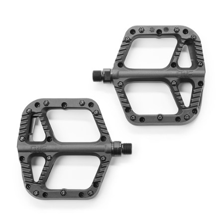
Shop for Flat Mountain Bike Pedals at REI - Browse our extensive selection of trusted outdoor brands and high-quality recreation gear.
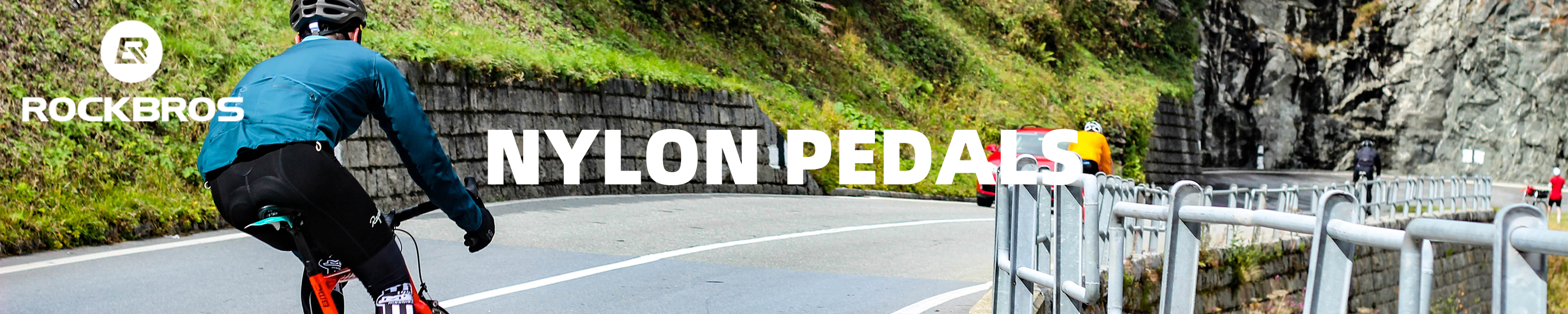
Kid's helmet · WINTER GEARS. Back; WINTER GEARS ... Image of ROCKBROS Mountain Bike Pedals Flat MTB Pedals Nylon Fiber Bicycle Platform Pedals for Road.
ROCKBROS Mountain Bike Pedals MTB Pedals Bicycle Flat Pedals Aluminum 9/16" Sealed Bearing Lightweight Platform for Road Mountain BMX MTB Bike · Aluminum · 1K+ ...
ROCKBROS Mountain Bike Pedals MTB Pedals CNC Non-Slip Lightweight Aluminum Alloy Bicycle Pedals Sealed Bearings Bicycle Platform Pedals 9/16" BMX Road Bike ...
9/16 for MTB, Mountain Road Bicycle Flat Pedal, with 16 Anti-Skid Pins -Universal Lightweight Aluminum Alloy Platform Pedal for Travel Cycle-Cross Bikes etc
Shop for Mountain Bike Pedals at REI - Browse our extensive selection of trusted outdoor brands and high-quality recreation gear.
Winter Sports
Ski touring, splitboarding and snowshoeing concentrate on south-facing couloirs and broad basins where avalanche hazard is a primary concern, while established resorts and ski areas provide lift-access backcountry options. Snowpack structure varies dramatically across ranges, so professional avalanche guidance and proper rescue equipment are essential.
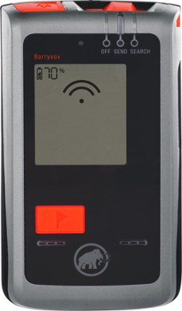
Tracker S Avalanche Beacon ... Learn the different ways to travel in the backcountry in winter, including telemark and randonee skiing, snowshoeing and ...
Snowsports /; Skiing /; Ski Accessories. Avalanche Safety Gear. (71 products). Products (71) Expert Advice (14). Filter. Store Pickup. Ready within 2 hours ...

Skiing /; Ski Accessories /; Avalanche Safety Gear ... Backcountry Access Stealth 270 Avalanche Probe 1 · Backcountry AccessStealth 270 Avalanche Probe. $79.95. ( ...
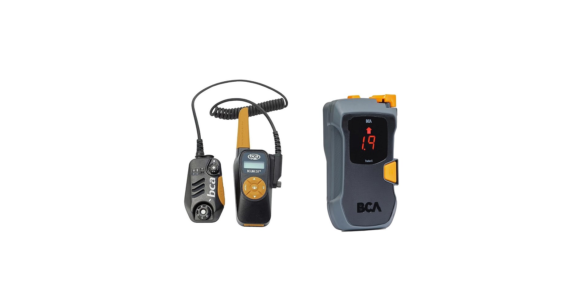
Amazon.com: Backcountry Access BCA Link 2.0 Radio - BCA Avalanche Transceiver Beacon Combo (Link 2.0 - Tracker S Combo) : Electronics.
Ski Accessories · Mammut Barryvox Avalanche Transceiver 0 · Mammut Alugator Ride 3.0 Hoe Shovel 0 · Mammut Alugator Light Avalanche Shovel 0 · Backcountry Access ...
Skis · Boots · Bindings · Poles · Helmets · Goggles · Ski Packs & Bags · Snowboarding ... How to Choose and Use an Avalanche Transceiver. Learn how to choose and ...

Snowshoeing: Deals · Snowshoes (21). Women's Snowshoes (16). Men's Snowshoes (11). Kids' Snowshoes (3) · Ski Backpacks (17) · Avalanche Safety Gear (7). Snow ...
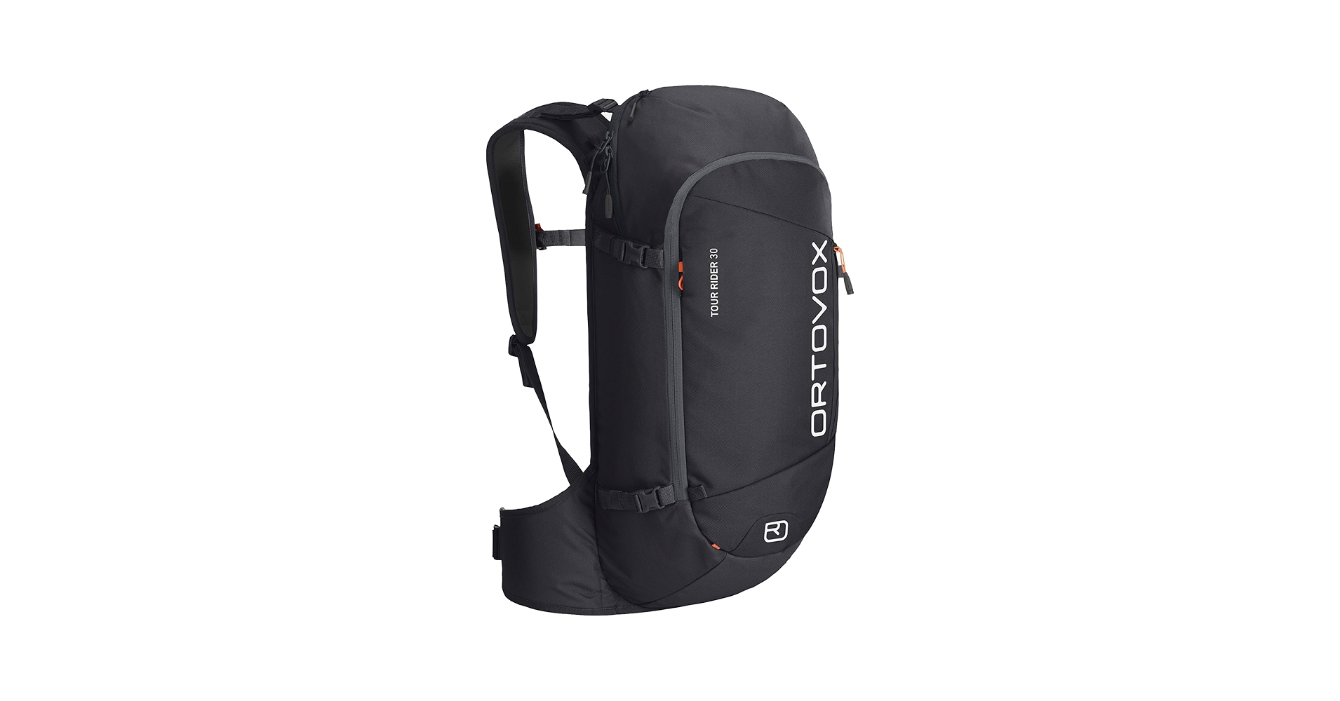
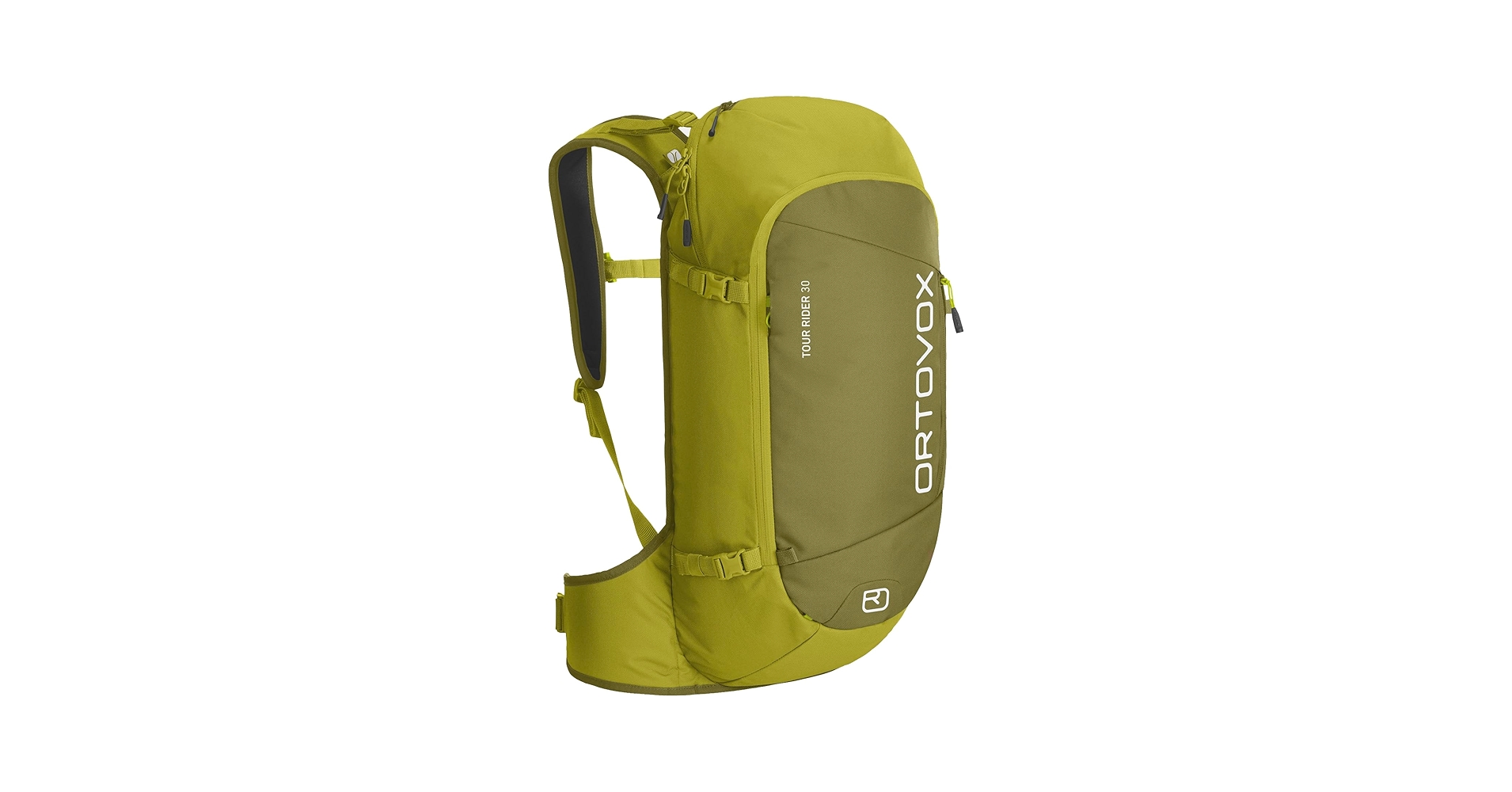
It is equipped with enough space to carry and easily access high alpine essentials like a wide ski fastener, shovel, probe, and emergency avalanche equipment ...
It is equipped with enough space to carry and easily access high alpine essentials like a wide ski fastener, shovel, probe, and emergency avalanche equipment ...
Skis · Boots · Bindings · Poles · Helmets · Goggles · Ski Packs & Bags · Snowboarding ... How to Choose and Use an Avalanche Transceiver. Learn how to choose and ...
Geology
The geology of Colorado's national forests is diverse, with uplifted Precambrian cores, folded sedimentary belts and volcanic centers creating varied climbing substrate and unique erosional landforms. Geologic context dictates both route quality and hazard types, from loose volcanic rhyolite to solid Proterozoic gneiss.
Igneous and Metamorphic Cores
Exposed Precambrian rocks that form high peaks often provide solid, compact climbing surfaces and steep arêtes; the Sawatch Range and Tenmile Range are examples where crystalline cores dominate topography. These cores resisted erosion, producing sharp relief and high ridgelines popular for mountaineering.
Sedimentary Belts
Folded and faulted sedimentary sequences produce layered cliffs and sloping benches, creating stepped trail profiles and sandstone crags that weather differently than crystalline rock. In canyons on the Western Slope, sedimentary strata control drainage patterns and create dramatic ledges that attract climbers and scramblers.
Glacial Landforms
Glacially carved cirques, moraines and U-shaped valleys are prevalent in higher basins, creating natural amphitheaters and lake basins that concentrate hikers and climbers. These landforms also produce unstable talus fields and over-steepened headwalls where post-glacial rockfall and periglacial processes are active.
Climate
Climate across Colorado's national forests is largely elevation-driven, with orographic precipitation on windward slopes and rain shadow effects on leeward basins, producing sharp gradients in snowfall and vegetation. Weather windows shrink at high elevation, and microclimates around ridgelines and basins must be respected for safety planning.
Alpine Regime
Above treeline, alpine conditions feature short growing seasons, strong solar radiation and persistent snowfields; storms can produce whiteout conditions rapidly, complicating navigation and descent. Routes above 3,500 meters often retain snow into summer and require crampons or ice tools for safe passage.
Montane Belt
The montane belt experiences the highest biological productivity but also the most variable summer convective storms; late-afternoon thunderstorm probability rises sharply from midsummer onwards. Trail erosion and seasonal trailhead access are influenced by freeze-thaw cycles and heavy monsoonal rains.
Continental Divide Influence
The Continental Divide acts as a climatic axis, concentrating precipitation on western flanks and producing drier eastern valleys; this divide also defines long-distance routes and influences snowpack persistence. Travel planning should account for distinct snowpack timelines on either side of the divide.
Flora and Fauna
Vegetation and wildlife distributions follow sharp elevational zoning, from pinyon-juniper and sage at lower elevations to dense lodgepole pine and subalpine fir stands that shelter alpine meadows. Species composition informs both trail conditions and objective hazards, such as avalanche-related treefall and forage-driven wildlife corridors.
Forest Types
Subalpine forests in areas like the White River National Forest are dominated by Engelmann spruce (Picea engelmannii) and subalpine fir (Abies lasiocarpa), while lower montane slopes support quaking aspen (Populus tremuloides) and ponderosa pine (Pinus ponderosa). These forest types influence fuel structure for fire behavior, shade patterns on trails and seasonal mud conditions.
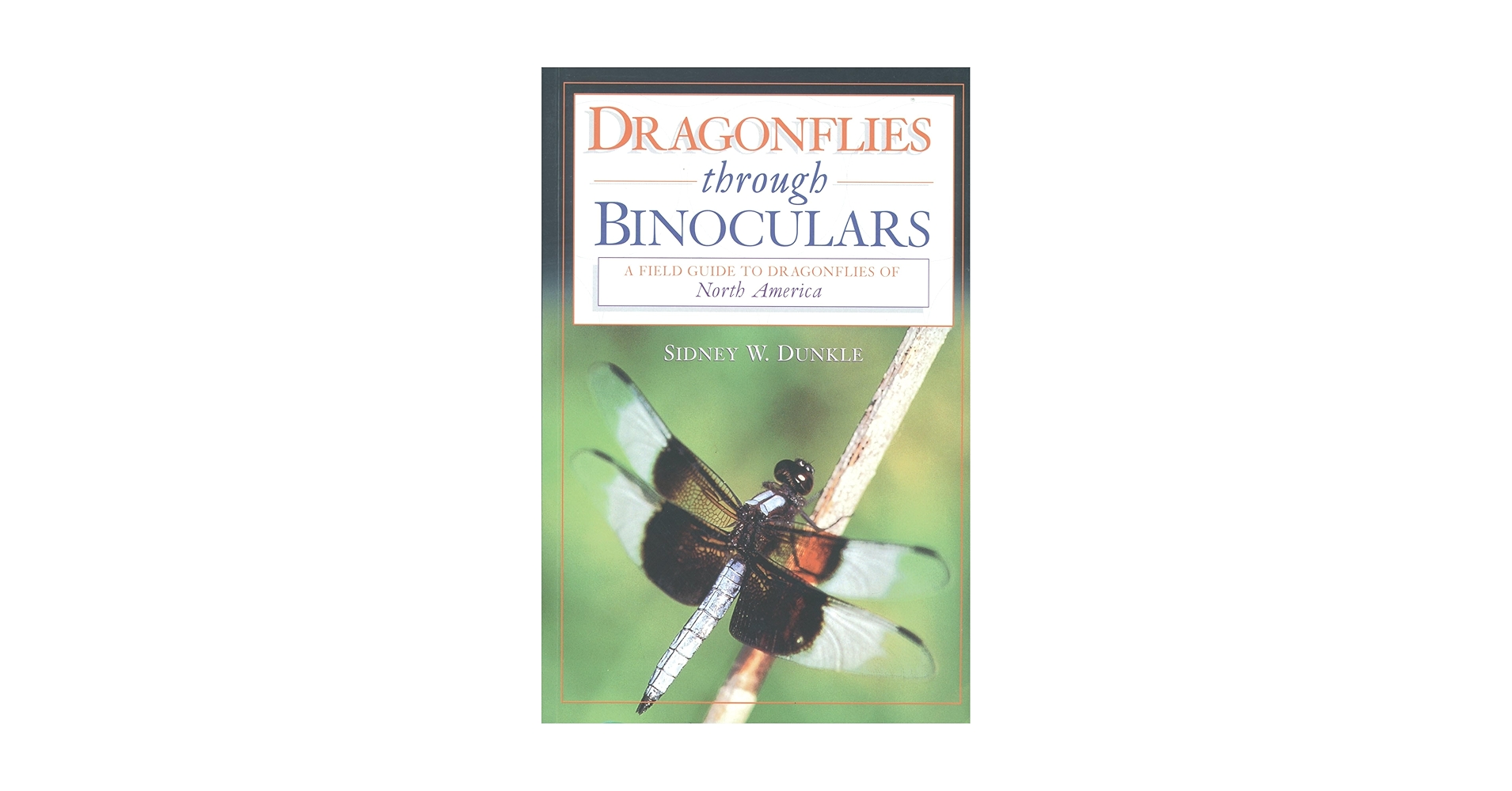
In these well-illustrated pages, Sidney W. Dunkle answers any query the beginner or expert might have on the subject of dragonfly-watching on this continent-- ...

This field guide offers a comprehensive display of all the magnificent butterflies of the western region, stretching from the plains of middle America to the ...
Glassberg here shows us how to find, identify, and enjoy all of the butterflies native to the eastern half of the United States and southeastern Canada.
Amazon.com: Wildflowers in the Field and Forest: A Field Guide to the Northeastern United States (Butterflies Through Binoculars): 9780195150056: Clemants, ...
This guide simplifies identification by illustrating only species found in Florida--using superb photographs of live butterflies coupled with detailed range ...

This Field Guide provides readers with a concise, organized reference that explains the functions and configurations of instruments commonly used by bird ...

A Field Guide to Western Butterflies (The Peterson Field Guide Series) [Tilden, James W.] on Amazon.com. *FREE* shipping on qualifying offers.

Butterflies through Binoculars: The EastA Field Guide to the Butterflies of Eastern North America · Butterflies through Binoculars: The WestA Field Guide to ...
Enjoy the thrill of discovery in this well-paced travel adventure that's like going birding with a friend When journalist and field naturalist Nancy Grant ...
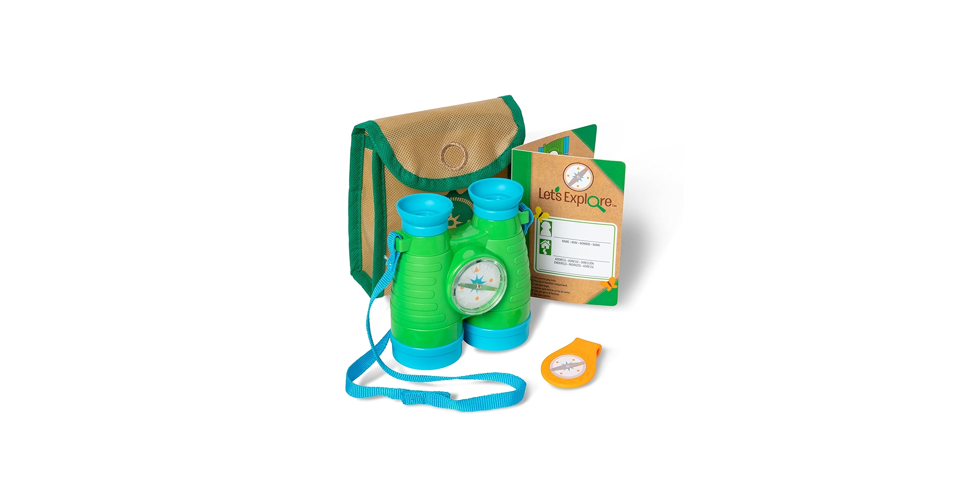
Includes play binoculars with soft eye pieces, built-in compass, and adjustable strap with self-stick closure. image. Field Guide. Reusable field guide includes ...
Large Mammals
Large mammals include elk Cervus canadensis, mule deer Odocoileus hemionus, mountain goat Oreamnos americanus in select high cirques, and mountain lion Puma concolor; encounters require awareness of seasonal movement patterns and calf or fawn defenses. Wildlife distributions concentrate near riparian corridors and alpine meadows where forage is abundant.
Birds and Small Mammals
Raptors, including peregrine falcon Falco peregrinus, nest on sheer canyon walls such as those found at Black Canyon of the Gunnison, while pikas Ochotona princeps and marmots inhabit talus slopes and provide indicators of snowline and seasonal temperatures. Bird migrations and raptor nesting seasons can prompt temporary climbing closures to protect colonies.
Towns and Gateways
Gateway communities provide logistics, specialized retail and unique urban-to-wildland transitions that shape trip planning, resupply and emergency options. Understanding each town's infrastructure and seasonal services improves expedition reliability, especially in remote forest districts.
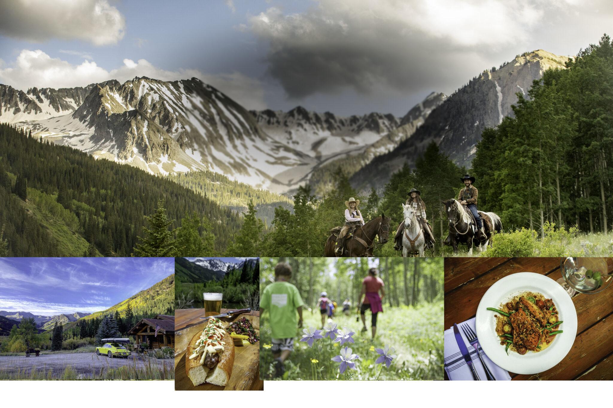
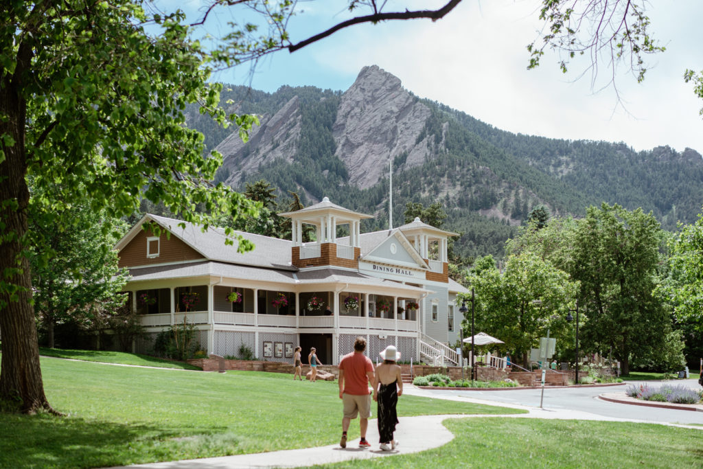
Aspen
Aspen serves as a high-end gateway to the White River National Forest with access to high alpine terrain, heli-skiing options and shuttle services to alpine trailheads; the town's historic core concentrates gear shops and technical guides for advanced mountaineering. Expect high visitation, permit requirements for certain trailheads and robust avalanche-safety resource availability.

Find 1821 of the best hotels in Aspen, CO in 2025. Compare room rates, hotel reviews and availability. Most hotels are fully refundable.

Find 3091 of the best hotels in Aspen Snowmass, CO in 2025. Compare room rates, hotel reviews and availability. Most hotels are fully refundable.

Aspen Highlands showing snow and snow skiing as well as an individual male. Find ski hotels & lodging in Aspen, CO. Plan the perfect ski vacation from $77.
Choose from 19 Hotels with a View in Aspen, CO from $77. Compare room rates, hotel reviews and availability. Most hotels are fully refundable.
Choose from 9 Historic Hotels in Aspen, CO from $303. Compare room rates, hotel reviews and availability. Most hotels are fully refundable.

Compare rooms and suites by Hilton Hotels in Aspen with rates, reviews, and availability. Most hotels are fully refundable.
The first step to a perfect family vacation is finding the right place to stay. Browse our selection of 43 hotels in Aspen, CO offering family-friendly ...
Are you on a budget? With Expedia, book now and pay later on most Cheap Aspen Hotels! Browse our selection of 12 cheap hotels in Aspen, CO and save money on ...
Top Pitkin County Hotel Reviews · Annabelle Inn · Aspen Square Condominium Hotel · The Inn at Aspen · The Gant · Limelight Hotel Aspen · St. Moritz Lodge & ...
Find the best Cabin Rentals in Aspen, CO in 2025. Compare rates , guest reviews and availability of 4 stays. Most stays are fully refundable.
From fine dining, casual cafes and bars, to restaurants with stunning views, Aspen has one of the best dining scenes in the country.
Aspen's only Five-Star, Five-Diamond, ski-in/ski-out hotel features luxurious amenities, personalized service, breathtaking mountain views, renowned dining and ...
Why is the Food Safety Program important? We protect the public from foodborne illnesses through retail food establishment and childcare inspections.
The premier sushi restaurant located in Aspen, CO with a casual setting, dining downstairs & upstairs, and an intimate sushi bar. Experience Matsuhisa in ...

Join us for a spectacular weekend at the annual Food & Wine Classic in Aspen, America's most iconic culinary festival!
Silverpeak Grill is a Mexi-Cali restaurant in Aspen, CO that offers family-friendly dining options for hungry diners of all ages!
Aspen's legendary restaurant, the Pine Creek Cookhouse, is nestled at the base of the Elk Mountains. Alpine gourmet food featuring wild game and fresh fish.
The home of Chalet Casual. ZIGZAG is an enigmatic balance of French chic and Colorado cool. A modern American restaurant, bar and events venue rich in ...
LIFT UP - LIFT-UP is the leader in providing equitable food security for individuals and families; educating, building understanding, and support to end hunger ...
Hotel Jerome is where you can find elevated, yet always approachable American bistro dishes that showcase what's in season in the Roaring Fork Valley.
Durango
Durango is a southwestern gateway with access to the San Juan Mountains, offering steep singletrack, high passes and technical winter routes; historic downtown transit and rail connections facilitate multi-day approaches into remote basins. Local outfitters provide guided climbing and backcountry ski services tailored to the region's volcanic and metamorphic rock types.

Find hotels in Durango, CO from $68. Check-in. Check-out. Guests. Search ... Lodging; Flights; Packages; Cars. Hotels near Historic Downtown Durango · Hotels ...

Find the best Cabin Rentals in Durango, CO in 2025. Compare rates from $150, guest reviews and availability of 115 stays. Most stays are fully refundable.

Budget INN. 10/10 Excellent. "Affordable lodging." Read Less.

Experience the ultimate getaway at Purgatory Resort in Durango, Colorado, where adventure meets comfort. Choose from a variety of lodging options, including ...
Find the best 4 Star Hotels in Durango, CO in 2025. Compare room rates, hotel reviews and availability. Most hotels are fully refundable.
Homewood Suites By Hilton Durango, Co is a hotel and each of the 78 ... Lodging; Flights; Packages; Cars. Pet-friendly Hotels in Historic Downtown Durango ...
Are you on a budget? With Expedia, book now and pay later on most Cheap Durango Hotels! Browse our selection of 20 cheap hotels in Durango, CO and save ...

... lodging accommodations. See more about this property. Add dates for prices ... Durango, CO. View in a map. What's nearby · Getting around · Restaurants. Mercy ...

Don't miss the scenic river views and the vibrant atmosphere that Durango, Colorado, has to offer. ... Lodging; Flights; Packages; Cars; Vacation Rentals; Other.

2002 Main Avenue, Durango, CO. 8.2/10 Very Good! (1,030 reviews). $71 nightly ... Experience the charm of Dolores, Colorado, with a variety of lodging options ...

Browse a listing of all the restaurants, bars, coffee houses and more through our comprehensive Durango dining guide.
Nov 11, 2024 ... Great Brews, Great Restaurant. Durango, CO. Open for Take Out!
If you have questions about these programs or the applications, please call 970-375-4998 or email customerservice@durangoco.gov. Public Meetings · Online Pay.
With over 500 restaurants and bars in the Durango area, we have a fantastic food scene. Learn about Durango's restaurants, chefs, and more.
Manna Soup Kitchen offers food access, volunteer opportunities, and other resources. Durango Food Bank accepts food donations. Good Food Collective works on ...

Mar 20, 2025 ... As someone who lives here in Durango my recommendations would be: Akami, Sage, fritas, carvers, and doughworks! All locally owned and operated, ...

1. Derailed Pour House. 4.8. (2,775 reviews). American, Bar$$ - $$$ · 2. Oscar's Cafe. 4.5. (639 reviews). American, Cafe$ · 3. Steamworks Brewing Co. 4.3. (2,383 ...
Experience exceptional dining at Eolus Bar & Dining in downtown Durango, Colorado. Explore our menu, gallery, and more. Reserve your table today.

Seasons is the original fine causal dining destination in historic downtown Durango with an emphasis on fresh local in-season ingredients. We work closely with ...
Durango Food Bank. Working to Feed Our Neighbors in Need. PO Box 156 • 194-C Bodo Drive • Durango, Colorado 81303 (970) 375-2672. DISTRIBUTION HOURS VARY ...
Boulder
Boulder links to Front Range trail networks and alpine day routes, serving climbers and mountain bikers with immediate access to ridgelines and steep technical terrain; the city's trail culture and research institutions also support up-to-date conditions and safety education. Urban-to-wildland trails require attention to seasonal closures and local use patterns.
Find hotels in Boulder, CO from $60. Check-in. Check-out. Guests. Search. price ... Lodging; Flights; Packages; Cars. Denver Hotels · Hotels near University of ...

Owl Chalet - 1950's Cabin close to hiking, creek, and brewery! The Tyrolean Cabin. Panoramic Views. Hot Tub. Near Hiking, Biking and Skiing. Exterior. The ...
Comfort Suites Broomfield-Boulder/Interlocken. 8679 Destination Way, Broomfield, CO ... Use Expedia to find affordable lodging by sorting results by price ...

Lodging; Flights; Packages; Cars. Cabin Rentals in Boulder County · Boulder County Hotels · Hotels near University of Colorado Boulder · Hotels near Boulder ...

Find the best Cabin Rentals in Erie, CO in 2025. Compare rates from $463 ... Upscale Mountain Cabin, great view, drive to Denver or Boulder or Nederland.

Colorado Springs. Colorado Springs. Boulder featuring signage and night scenes. Cabin Rentals. Boulder. Boulder. Estes Park featuring tranquil scenes, landscape ...

Colorado Bear Creek Cabins. 3.5 star property. Evergreen. 9.4 out of 10 ... Zebulon Pike Cabin on Coal Creek - Boulder/Golden. Fridge, microwave, oven ...

Find the best Cabin Rentals in Jamestown, CO in 2025. Compare rates from $160, guest reviews and availability of 634 stays. Most stays are fully refundable.

Find the best Cabin Rentals in Golden, CO in 2025. Compare rates from $172, guest reviews and availability of 254 stays. Most stays are fully refundable.

Boulder County Fairgrounds. Enjoy an outing to Boulder County Fairgrounds during your stay in Longmont. While in this family-friendly area, you can savor the ...

Boulder Restaurants · A Cup of Peace · Abo's Pizza - North Boulder · Abo's Pizza - South Boulder · Ado's Kitchen & Bar · Ajax Tavern · Alfred Packer Grill · Ali ...
Frasca Food and Wine is a Michelin-starred and James Beard Foundation Award-winning restaurant that tells the story of Friuli-Venezia Giulia through the lens ...
Review the requirements if you plan to wholesale food, operate as a cottage food vendor, or prepare food containing marijuana.
Since 1923, The Sink has served the best pizza and the best burger in Boulder, but we're more than just our menu. Located near CU on The Hill, ...
COLORADO BISTRO CUISINE ... The Victorian-style Chautauqua Dining Hall has been a Boulder tradition since 1898. It was built in 40 days for $11,000 and seated 400 ...

Boulder, CO 80302. United States. Annual City Food Tax Rebate Program. Each year, the City of Boulder provides rebates to help compensate residents with lower ...

Come downtown for a great meal, warm atmosphere, and some familiar faces. When you choose to dine at a local restaurant, enjoy a coffee along Pearl Street, or ...
May 11, 2023 ... kalita grill, tiffins, fuji cafe, pupusas lover 2, que rico is a local chain but slaps, busaba, arabesque, village coffee house, lucille's is ...
Redistributing Produce and Power ... Join us in creating a more just and less wasteful food system in Boulder County. ... As a just-in-time food rescue, we take ...
Boulder Food & Drink sub-menu Boulder Food & Drink. Bar · Bona Coffee Roasters · Boychik · Mangia Panino · New Yorkese · Peko Peko · Rooted Craft Kitchen ...
Access and Logistics
Access is governed by a mix of paved highways, seasonal forest service roads and foot-only trailheads, with many high-elevation approaches closed by snow well into summer. Vehicle requirements, road clearance and permit systems vary by forest district and season, so pre-trip coordination with ranger offices is essential.
Permits and Passes
Many high-use areas require day-use passes, wilderness permits or reservations for popular trailheads, particularly within designated wilderness like the Maroon Bells-Snowmass Wilderness. Permit systems aim to limit trailhead crowding, protect fragile alpine surfaces and manage overnight human waste.
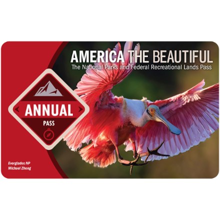
Park Passes · America the Beautiful Pass - 2025/2026 0 · Discover Pass - Annual 0 · Annual Northwest Forest Pass 0 · Southern California Daily Forest Adventure Pass ...
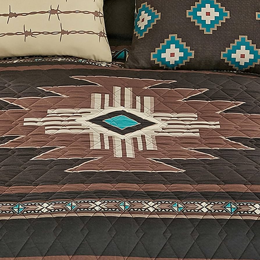
Complete set: Includes quilt and two shams for a coordinated rustic bedding solution, providing desert southwestern design with practical comfort for rustic ...
![The Emerald Forest [VHS] : Boothe, Foster, Boorman ... - Amazon.com](https://m.media-amazon.com/images/I/81gx8lOYioL._UF350,350_QL50_.jpg)
Amazon.com: The Emerald Forest [VHS] : Boothe, Foster, Boorman, Pass, Pol: Movies & TV.
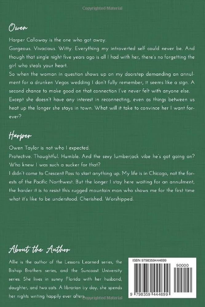
A Forest Between Us: A Small Town, Second Chance Romance (Crescent Pass) [Winters, Allie] on Amazon.com. *FREE* shipping on qualifying offers.
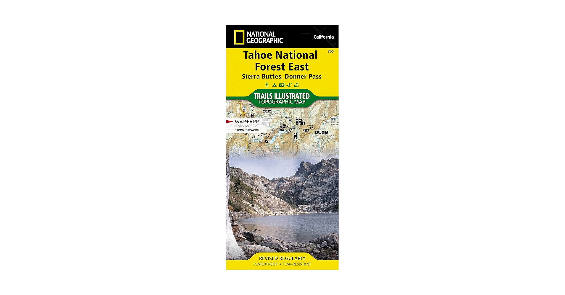
National Geographic's Trails Illustrated map of the Sierra Buttes and Donner Pass region of Tahoe National Forest provides an unparalleled tool for exploring.
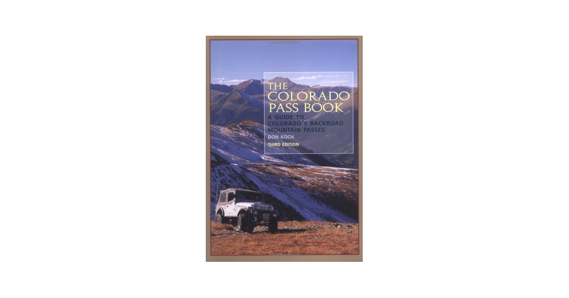
The Colorado Pass Book: A Guide to Colorado's Backroad Mountain Passes ... Includes orientation information, directions, terrain descriptions, and forest service ...
Trinity Lake, surrounded by forested mountains has three marinas and numerous National Forest campgrounds and boat ramps. The Philpot Creek and Trail passes ...
Coverage includes Arapaho National Forest, Sarvis Creek Wilderness, Five Pine Mesa, Egeria Park, King Mountain, Gore Range and Red Dirt Reservoir. Let mapped ...
Poet Seamus Heaney wrote of the "deep and literate gaze" Robert Gardner transmits "with an intensity that passes from the documentary into the visionary" in ...

Aspen forest tree trunks in summer on Kebler Pass in Colorado in Canvas Print Pictures Stretched & Framed Modern Wall Painting Home Decor
Trailheads and Roads
Trailheads such as the Maroon Lake Trailhead or approaches via Independence Pass often have limited parking, rapid turnover and variable road clearance; many forest roads require high-clearance or AWD/4x4 vehicles after storms. Road maintenance budgets and seasonal washouts can make alternate approach planning crucial for tight itineraries.
Prior to the steep climb we found it an easy to moderate hike. I recommend bug spray - much of this walk is sheltered with some heavy brush/wildflowers and ...
Only hiked up a mile and 400ft elevation gain. Nice hike to get some exercise and get some views . If you go up into the treeline further up may run into snow.
Generally considered a moderately challenging route, it takes an average of 5 h 13 min to complete. This is a popular trail for backpacking, birding, and hiking ...
... hiking (roundtrip) by parking in the area at the top of the hill. This is a very moderate hike that runs along the Crystal River for the vast majority of the ...
This hike starts at the Judd Falls trailhead at Gothic Rd. It is a pretty forest hike that opens up in spots along Copper Creek to Copper Lake.
All trails should remove it or discourage people from hiking there. We ... Proceed cautiously on this 6.1-mile out-and-back trail near Fairplay, Colorado.
... Colorado. Generally considered a challenging route, it takes an average of 5 h 34 min to complete. This trail is great for hiking, and it's unlikely you'll ...
3.6-mile out-and-back trail near Aspen, Colorado. Generally considered a moderately challenging route, it takes an average of 1 h 39 min to complete.
This hike is a fun and lightly challenging trek up about a thousand feet of elevation gain in the White River National Forest. You'll spend most of this ...
This can be a fairly strenuous hike, but definitely worth it if you want to shave a few miles off from the East Slope trail. Views at the top are incredible.
Seasonality
Trail conditions change from spring melt to monsoon-season storms and fall freeze cycles; access windows for certain ridgelines and couloirs are narrow, with prime alpine conditions often in late summer and early fall. Winter access frequently shifts to snowmobile or ski approaches where roads are closed to vehicle traffic.
Conservation and Management
Forest management balances recreation, wildfire mitigation, habitat protection and watershed health, with active restoration projects and prescribed burn programs shaping forest structure. Engagement with local forest supervisors and adherence to Leave No Trace principles support long-term access and ecological resilience.
Fire Management
Prescribed burns and strategic thinning are used to reduce catastrophic wildfire risk and protect infrastructure, with seasonally imposed restrictions on open flames and backcountry campfires near sensitive zones. Fire regimes have shifted with climate trends, increasing the importance of pre-trip awareness of closure announcements and air quality impacts.
... fire transportation vehicle truck stickers and a city map. Fire truck toys included rescue helicopter, fire engine vehicle,ladder truck,etc. Your lovely ...

Amazon.com: Jumbo Floor Puzzle for Kids,Fire Rescue Jigsaw Large Puzzles,48 Piece Firefighter Fireman Fire Truck Puzzle for Toddler Ages 3-5,Children ...
Buy Shelter, Fire, Water (Outdoor Recreation and Survival) on Amazon.com ✓ FREE SHIPPING on qualified orders.
Pet Smoke Detector- Assists firefighters in search and rescue for pets in smoke or fire emergencies. - Strobing feature alerts firefighters a pet is in the ...
Amazon.com: Janod 24 Piece Children's Jigsaw Puzzle - Fire Rescue - Giftable Carrying Case with Fabric Handle - Classic Art Collection - Ages 3-5 Years ...

SUPER VALUE:6 Mini Fire Cars Truck and 1 Fire Drill Map and 1 Helicopter Toy and 11 Road Signs and Functions in One Carrier Plane.Including Fire Ambulance ...
Amazon.com: Coolplay Red Airplane Toy Set - Rescue Fire Truck & Ambulance Car with Lights & Sound for Boys 3-6 Years : Toys & Games.

Amazon.com: Flash Point: Fire Rescue 2nd Edition - A Thrilling Cooperative Board Game For Kids, Teens & Families to Save Lives - For 2-6 Players Ages 10+ ...

Producing high quality reliable stickers and decals for over 15 years. American Vinyl creates thousands of custom designs that you will love.
Buy NIFRS Northern Ireland Fire and Rescue Crest Shaped Sticker (Logo Firefighter): Bumper Stickers - Amazon.com ✓ FREE DELIVERY possible on eligible ...
Wilderness Designation
Wilderness areas such as the Maroon Bells-Snowmass Wilderness restrict mechanized travel, concentrating human impact on footpaths and designated campsites while preserving backcountry character. These designations require distinct permit protocols and compel low-impact camping practices.
... designated wilderness area, the Sipsey Wilderness. It was established under the Eastern Wilderness Areas Act of 1975. This 26,000-acre wilderness has the ...
The Bankhead National Forest is home to Alabama's largest federally designated wilderness area, the Sipsey Wilderness. ... When is the best time of year to hike ...
The Bluff Trail is located within the Five Bridge Lakes Wilderness Area, designated under the Wilderness Areas Protection Act. This loop is marked with ...
All trails within the Wilderness are designated hiking trails, and you can quickly identify them as they are blazed in white paint. However, horse riding ...
... wilderness hikes in Sequoia National Park. You will climb from the ... There are designated wilderness campsites and backcountry pit toilets at ...
... designated zones of the Maroon Bells Snowmass Wilderness. For more ... backpacking trip through the striking Maroon Bells-Snowmass Wilderness. The ...
... designated wilderness -- mechanized equipment like bikes and drones are prohibited-- and protected watershed. Dogs are not allowed, nor is entering the ...
... Wilderness, which does not allow mechanized equipment, such as drones and bicycles, are not permitted in designated ... hiking option due to its proximity ...
Mechanized equipment, such as drones and bicycles, is not permitted in designated wilderness. This is not recommended as a winter hiking option due to its ...
... backcountry campsites along this route with designated platforms to pitch a tent on ... Hiking. Running. Backpacking. Forests. Rivers. Views. Wildlife. Reviews.
Recreation Impact
Trail erosion, campsite proliferation and social trail creation are ongoing management concerns; targeted trail hardening and visitor education aim to concentrate use on sustainable routes. Volunteer stewardship and adherence to established campsites significantly reduce impact, helping maintain fragile alpine soils and water quality.
This guide emphasizes the interplay of geology, climate and human use that defines Colorado's national forests, focusing on the practical details experienced outdoor practitioners need for effective planning and risk management. For route-specific beta, check with the local forest supervisor office for the most current conditions, closures and permit information before committing to any high-elevation plan.
18 Inch, 304 Stainless Steel Wood Burning Fireplaces, Collapsible Pop Up Fire Pit for Outside, Included Heat Shield for Leave No Trace Fires.
Amazon.com : The dooloop Hands Free Dog Poop Holder - Carry Pet Waste Bag with Attachable Leash Accessory for Dog Walking. Now made with Recycled/Recyclable ...
LOCKS IN BAD ODORS with innovative 2-layer design. Easy to use and clean. Store 2L of stinky things inside a durable waterproof exterior; Leave no trace. Use ...
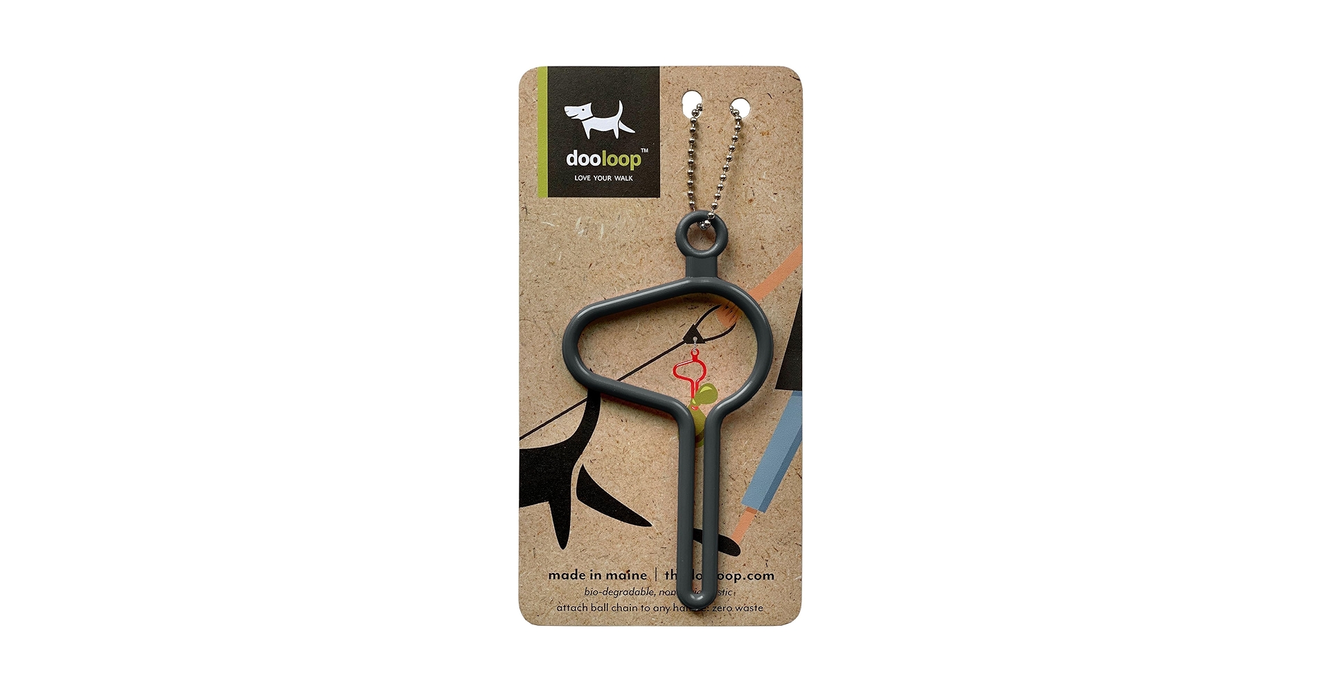
Made in Maine with zero-waste packaging. It's easy on the planet. Love your walk and leave no trace.
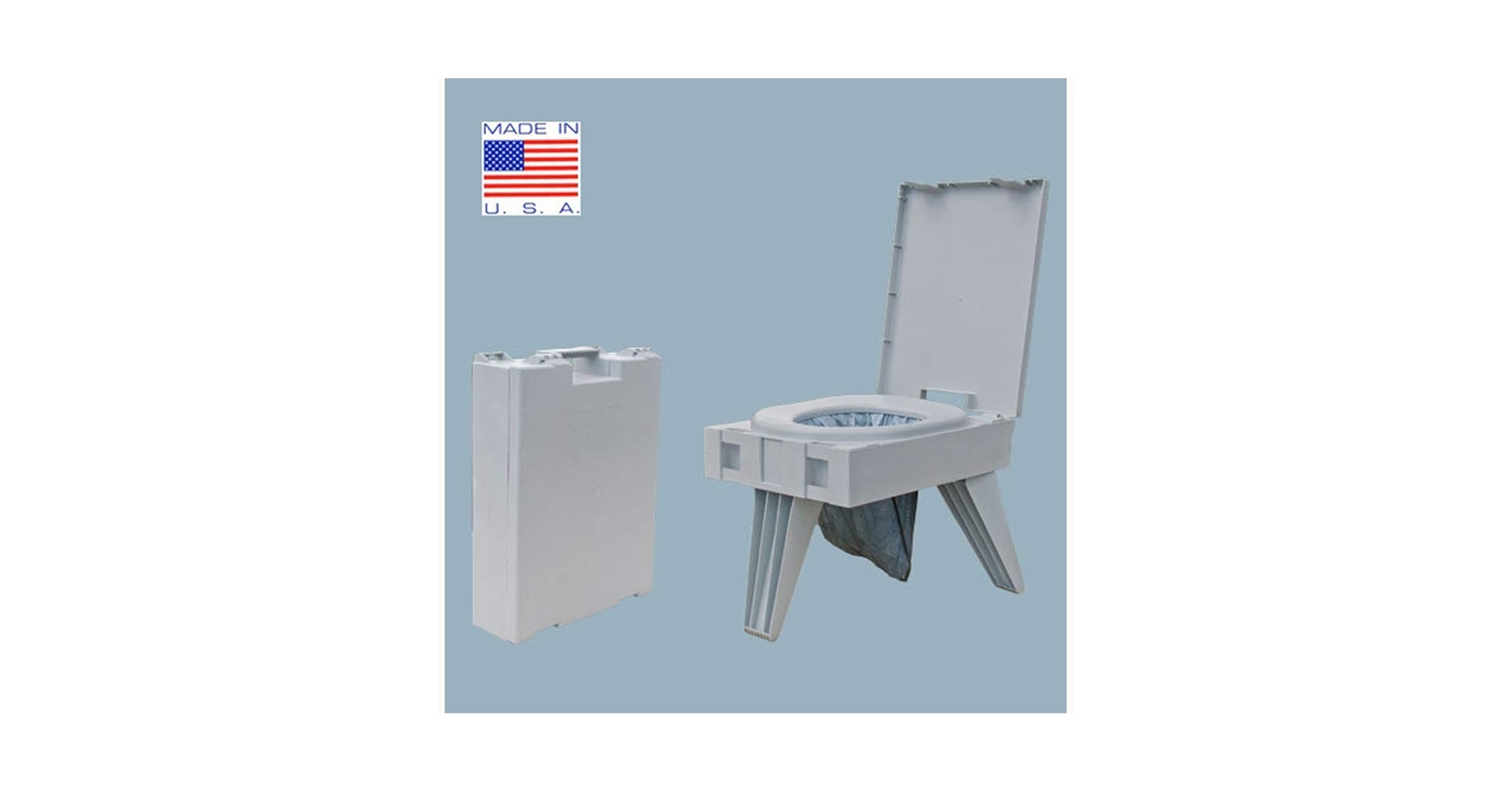
Complete portable camping toilet - for camping, hunting, fishing and more - comes with 3 bonus toilet kits (waste bag with poo powder, zip-close storage bag, ...
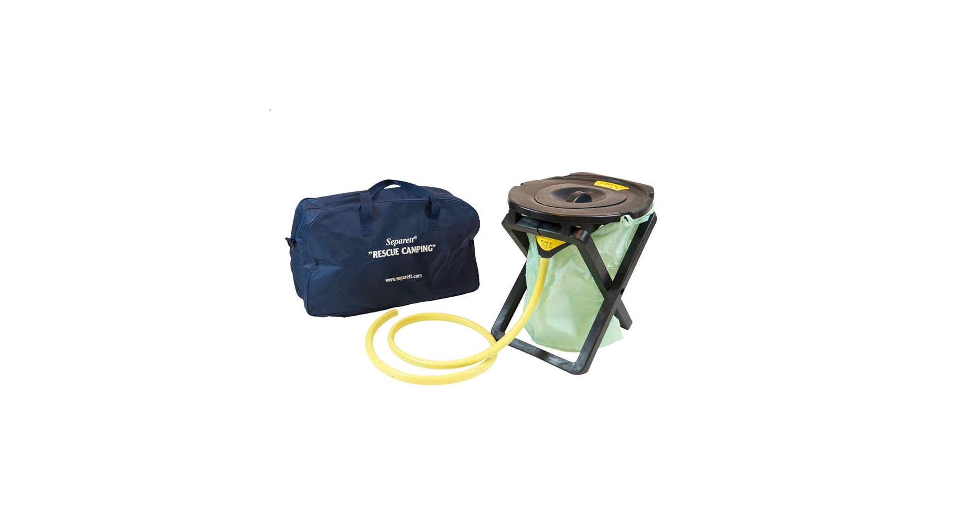
... without leaving a trace. No waste left behind. This portable toilet is ... A roll of compost waste bags for solids; A lightweight, easy-carry transport ...
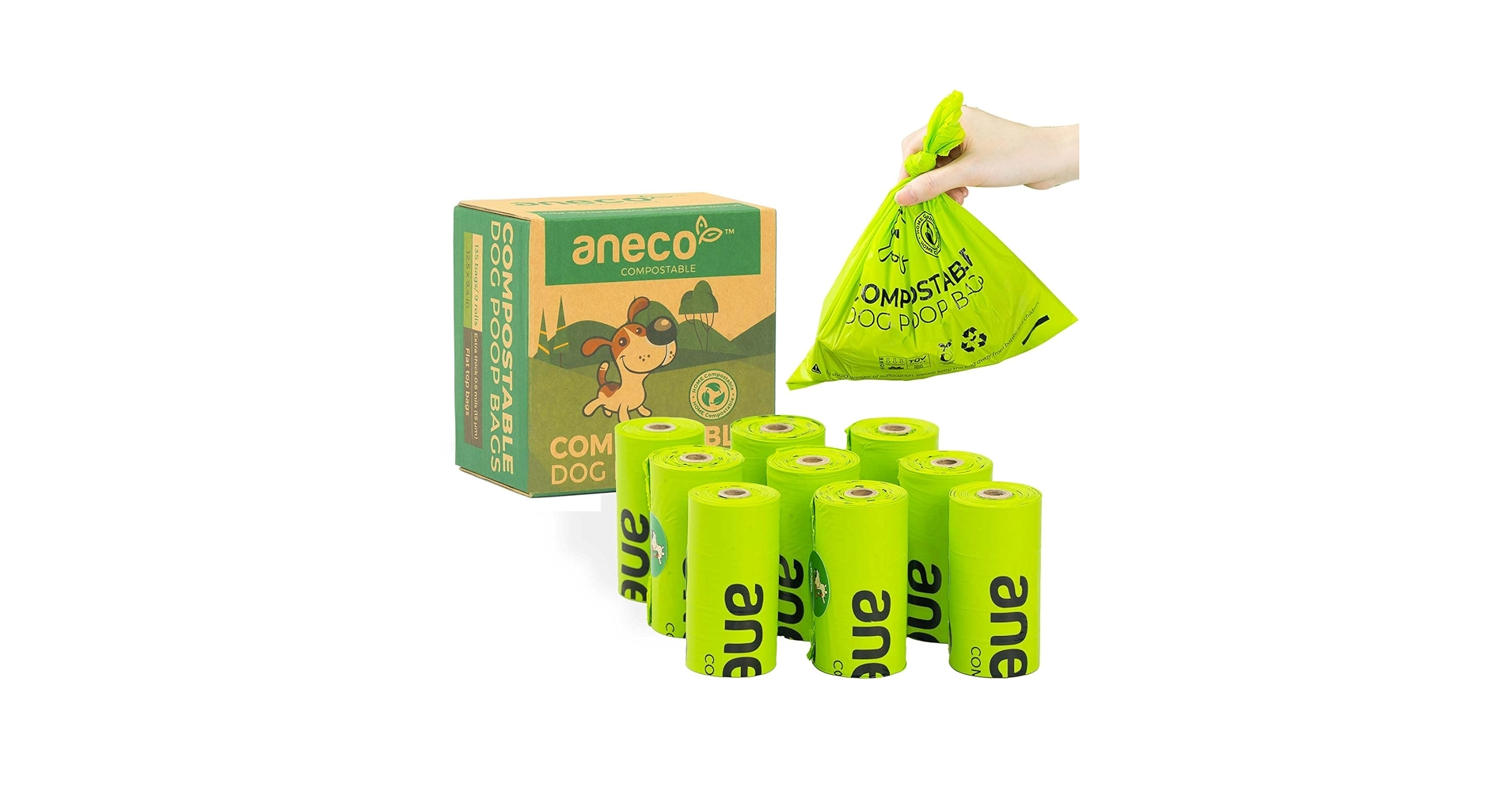
... leaving no traces of plastic into the environment. Proven Certifications: Buy with confidence since ANECO compostable poop bags meet ...
Won't leave any trace when they are teared off. Made from premium PEVA ... Large capacity disposable garbage bag, can put down the waste of empty ...

【Small Trash Can Liners】The dimension((L*W) of the waste basket trash bag is 15.7 inches *13.8 inches with the Octagonal Bottom design leave no space to ...
HIGH ABSORPTION = NO ODOR: Urine is absorbed in seconds, so it always stays clean and dry, leaving no trace and best of all absolutely no odor, making Skoon a ...
Last updated: Sun Sep 28, 2025
We may earn commissions on some links.